Hawaii Air Tour 2015 (Real Flight)
It has been a busy week at work, with several days of overtime until 10 PM. So, to relax this weekend, I’m looking at some photos of the Hawaiian scenery taken a few months ago to relieve some physical fatigue.
The company I contacted for this flight is Noah Flying. Their main business is charter flights for commercial purposes and pilot training. To promote their services, they also conduct sightseeing flights, using a C172. The owner is Japanese, used to fly Boeing 737s for an airline, and later started his own company at Honolulu International Airport.
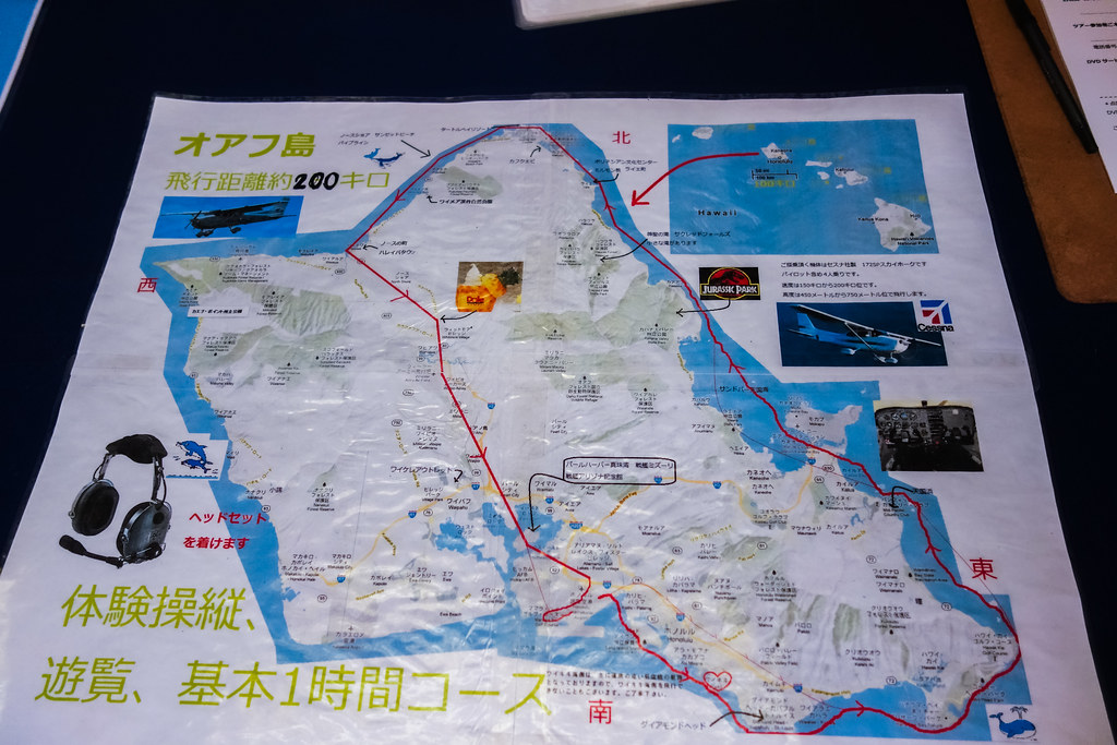
Before the flight, I checked the route chart. It was the same as always.
 However, unlike last year, which was for flight training, the main purpose this time was sightseeing while flying.
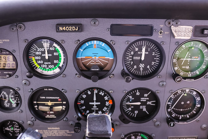
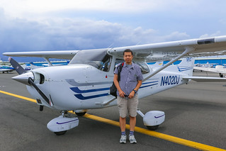
The aircraft used was a 172S, tail number N402DJ. It was manufactured in 2003—not bad at all.
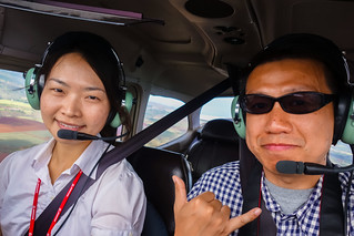
Settling into the cockpit, I took a commemorative photo first.
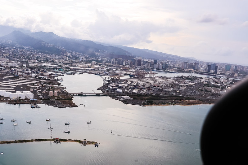
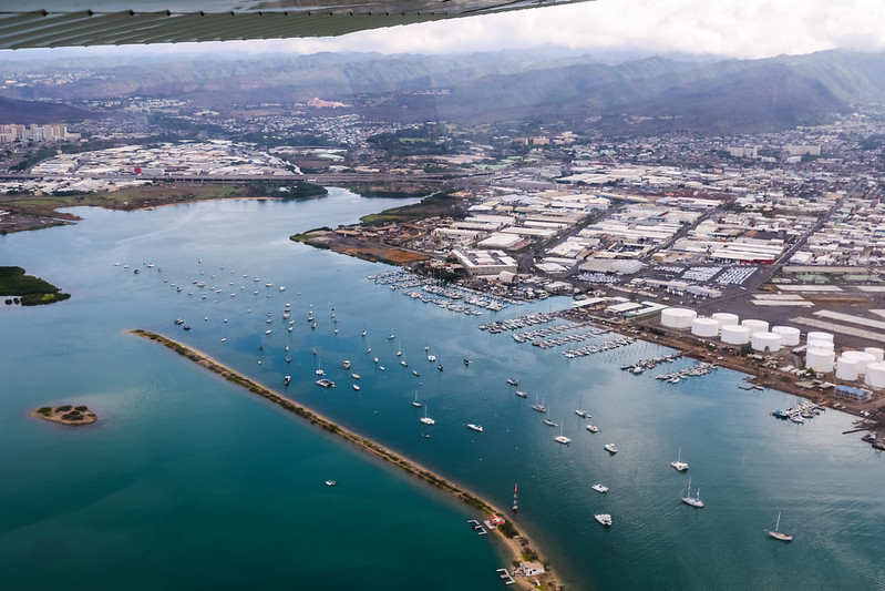
After taking off from Runway 04L, we turned southeast. Below on the left was Ke’ehi Boat Harbor.
On the right side is Runway 26L/10R.
We climbed to a cruising altitude of 1500 feet, then could slowly enjoy the scenery. I’ve visited the Ala Moana area for shopping and strolling countless times.
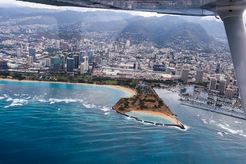
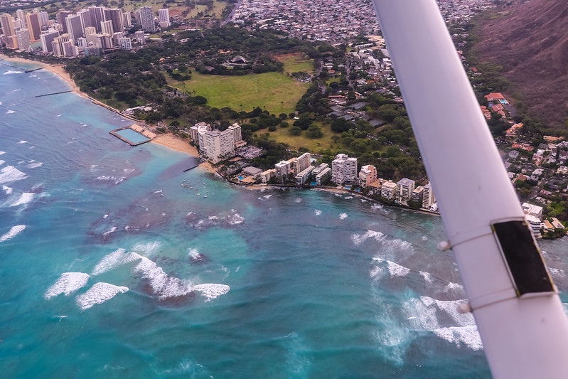
Waikiki Bay, lined with seaside hotels, is an area very familiar to tourists.
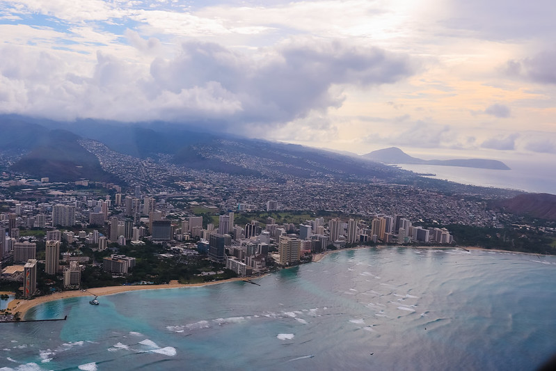
In the mornings, the distant mountain tops are usually covered in cumulus clouds, but since a tropical depression was approaching that day, the clouds at high altitude were very well developed.
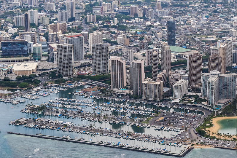
Turning back for a close-up of the Ala Wai Boat Harbor next to the Hilton Hotel.
Kapiolani Park at the foot of Diamond Head.
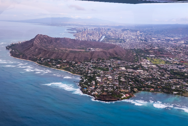
We flew to the outside of Diamond Head and turned east. Looking back at Waikiki on the left, this angle is amazing.
It’s a pity my hand was shaking a bit, so the photo isn’t very clear. What a shame.
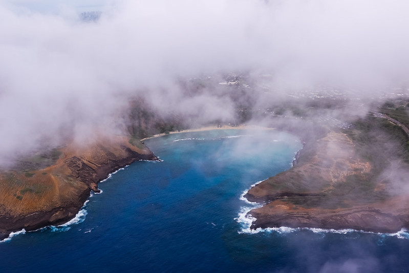
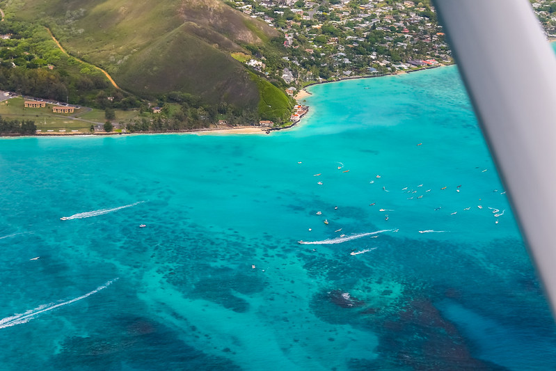
Bad luck; the cloud layer over Hanauma Bay was very low, so we couldn’t capture the seaside.
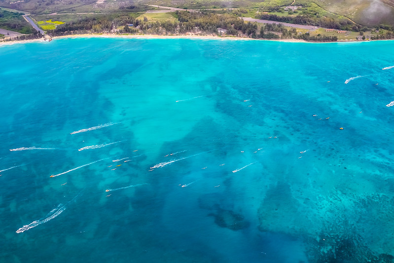
However, a rowing regatta was taking place over Waimanalo Bay. White wake tracks added to the emerald ocean canvas formed by the coral reefs.
Kailua Bay and the islands Moku Iki and Moku Nui.
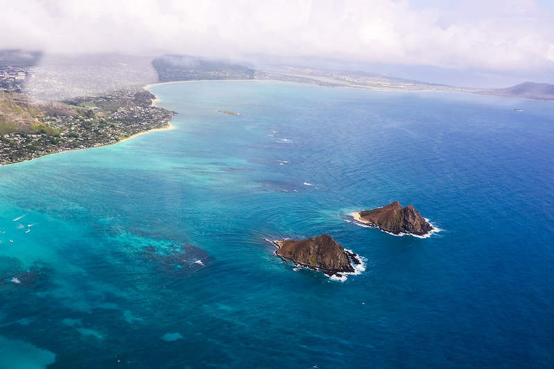 I have wealthy friends who rent a villa in Kailua for a month every summer for vacation.
I visited there a few years ago, so I’m fairly familiar with this area.
I wonder if they saw themselves on this day?
I have wealthy friends who rent a villa in Kailua for a month every summer for vacation.
I visited there a few years ago, so I’m fairly familiar with this area.
I wonder if they saw themselves on this day?
Then we basically flew north. The clouds near the MCBH base were very low.
We had to lower the altitude to 800 feet to avoid affecting VFR flight.
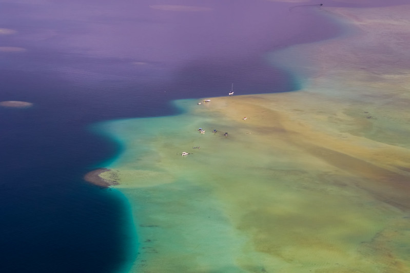
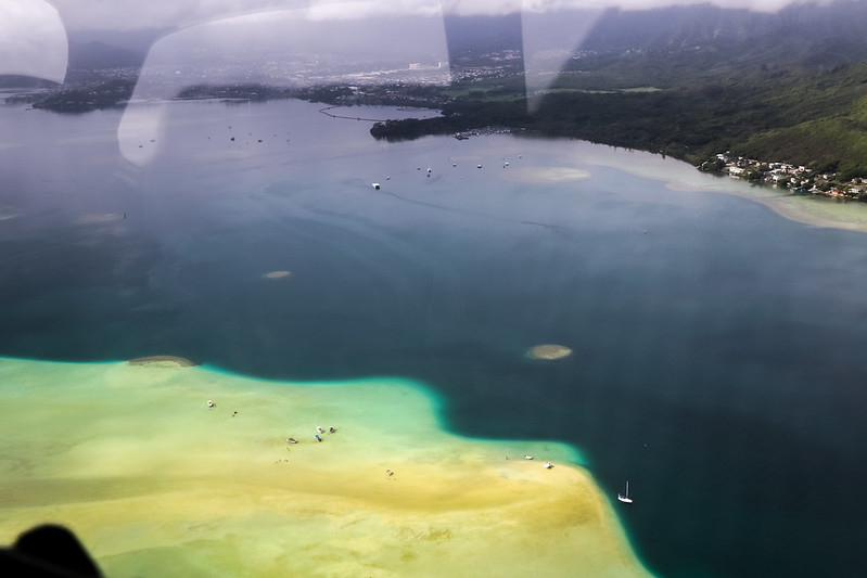
Further ahead is the beautiful Kaneohe Bay. I’ve been to the Sandbar in the sea twice,
but only when looking from above did I realize just how large its area is.
Then we arrived at Kualoa Ranch, the filming location for Jurassic Park.
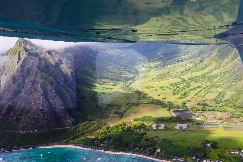
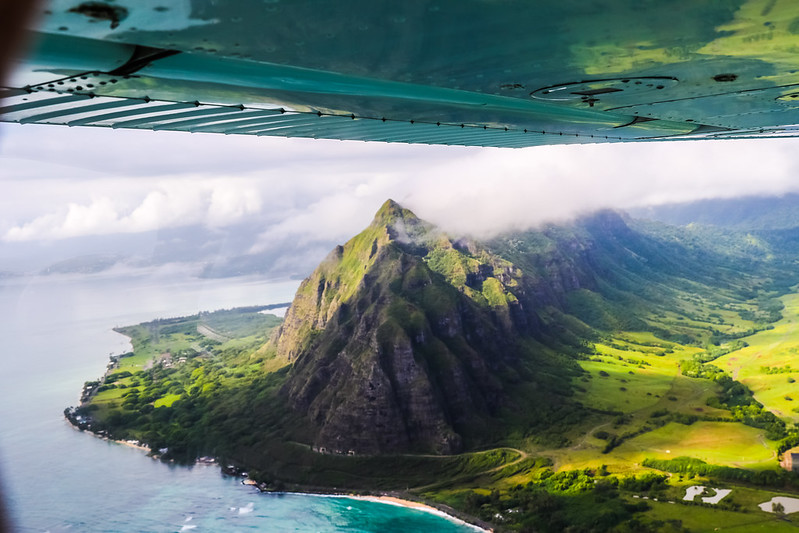 Those who have seen the movie should recognize this famous terrain, right?
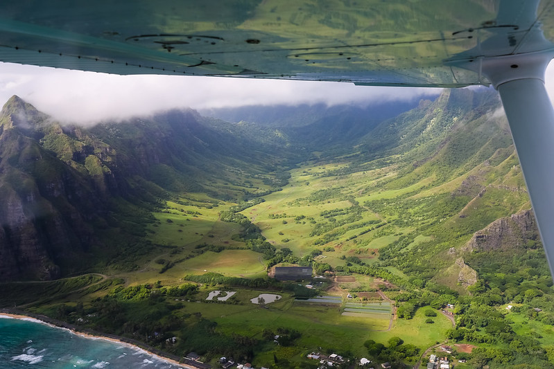
The Kaaawa area. Personally, I think the view looking this way from Kualoa Ranch on the ground is even more beautiful.
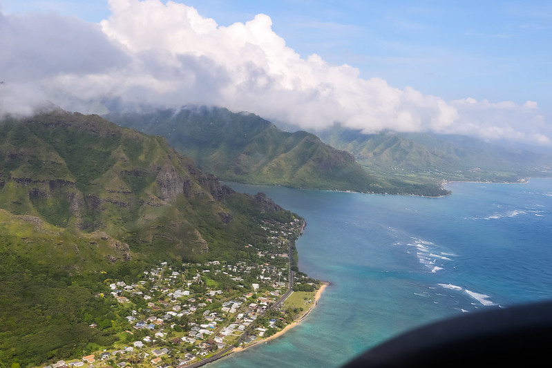
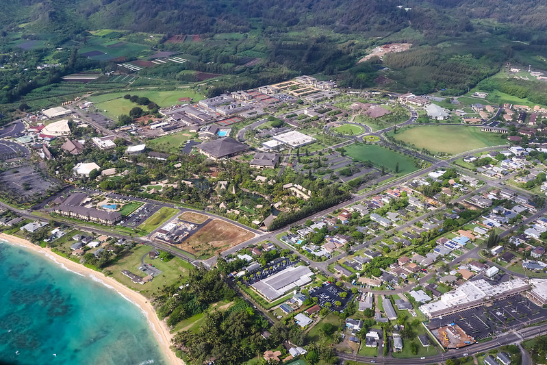
The Laie area. Here is the famous Polynesian Cultural Center, although I haven’t been there even once.
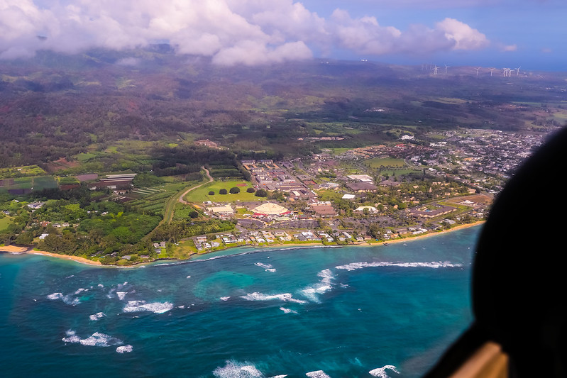
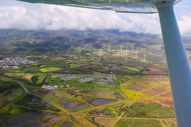
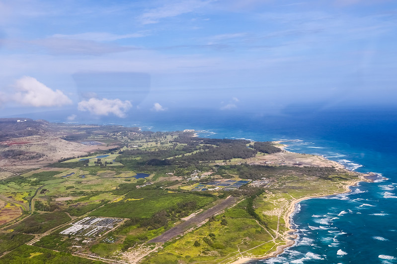
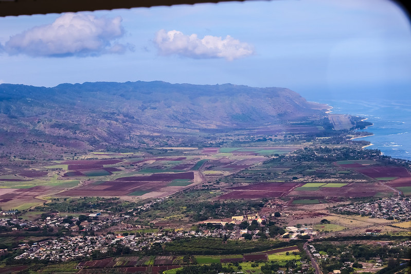
Continuing north is the Kahuku area, where large farms and wind power generation facilities can be seen.
However, we were already approaching the northernmost tip of Oahu, so we began a westward Turn along the coast.
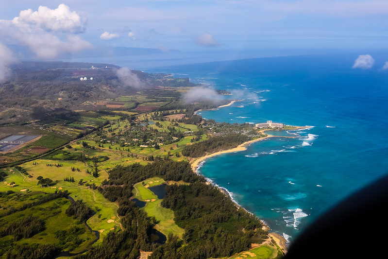
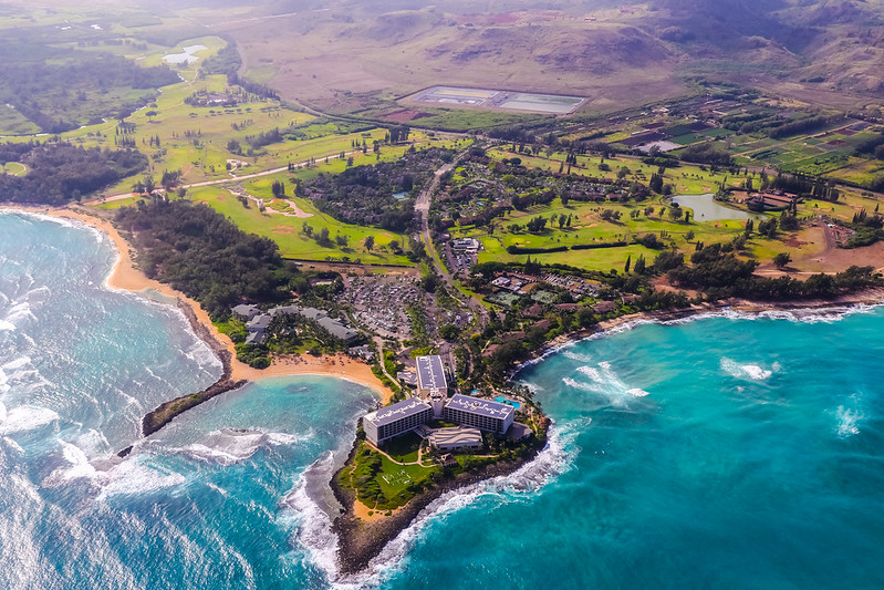
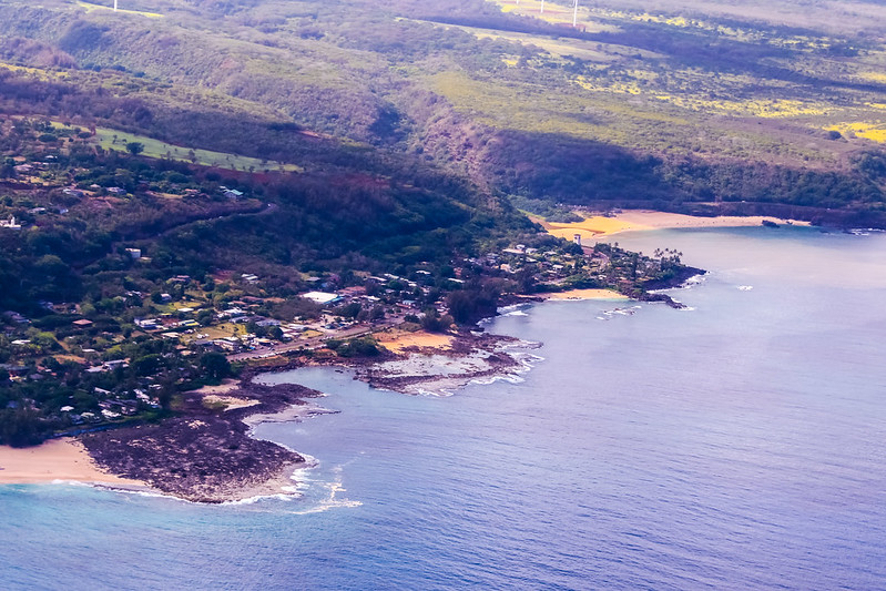
Kuilima Point and Turtle Bay. There are a lot of golf courses in this area.
The famous Sunset Beach.
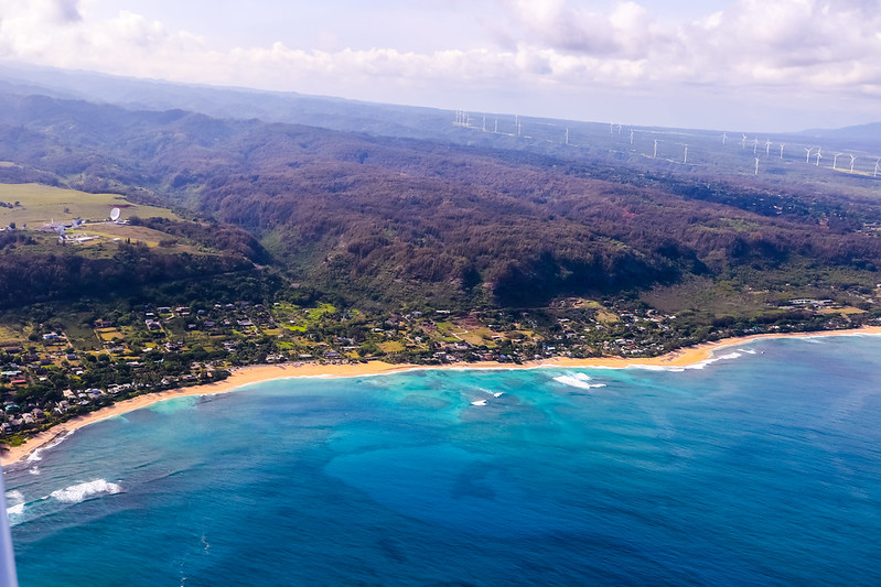
The Kaunala Gulch in front of Sunset Beach.
Kualoa Point and Waimea Bay.
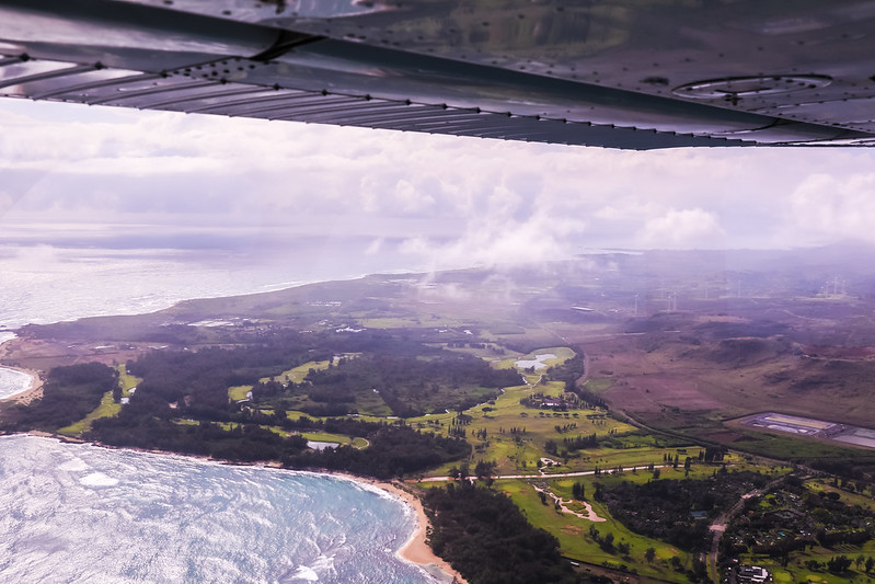
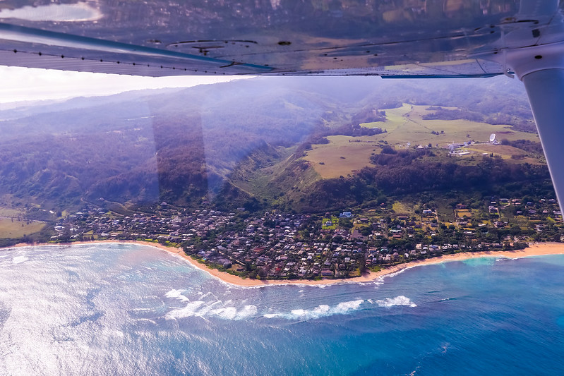
After arriving at the North Shore, we started heading back. After turning south, we looked down at the Waialua area and the west side of the island.
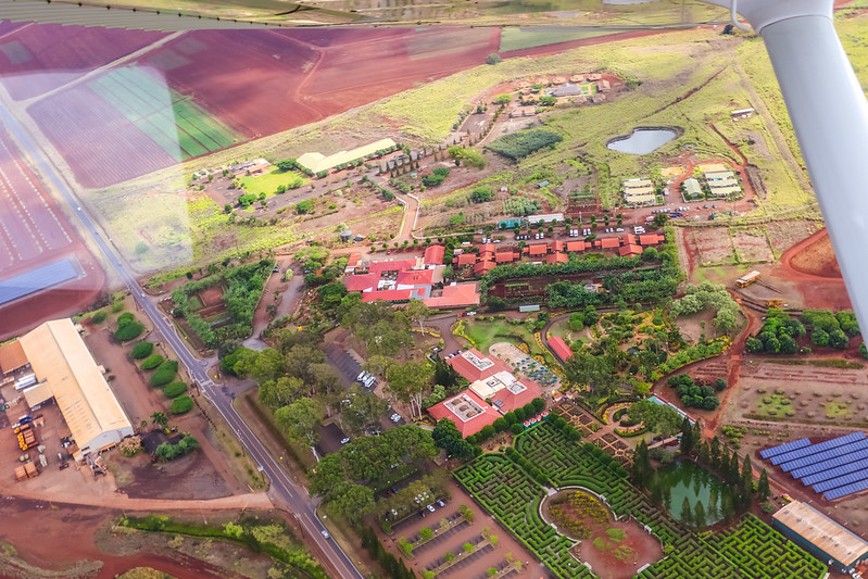
Heading south all the way, I definitely had to get a souvenir shot over the famous Dole Plantation.
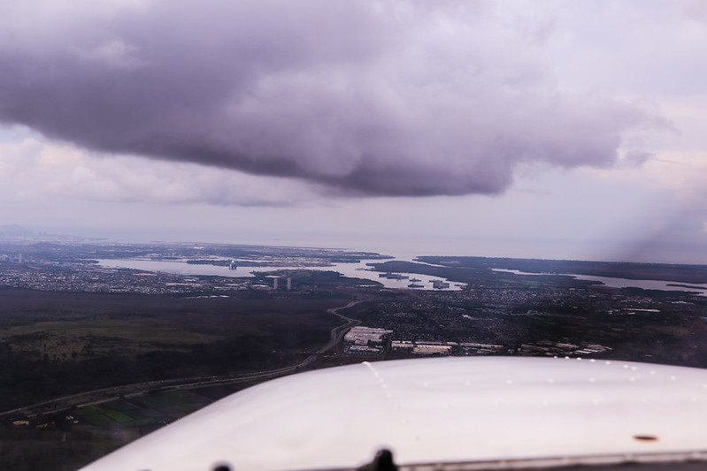
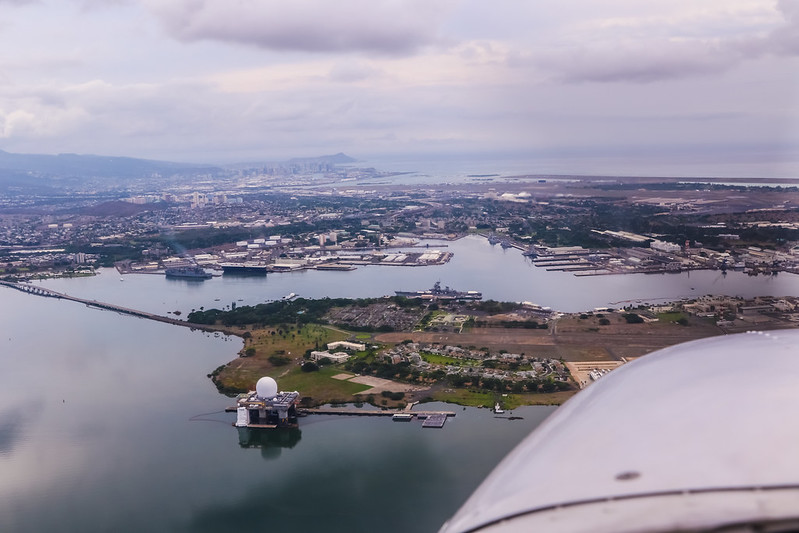
We soon flew to the southern tip of the island, and Pearl Harbor came into view. The clouds were low here too.
Ford Island within Pearl Harbor.
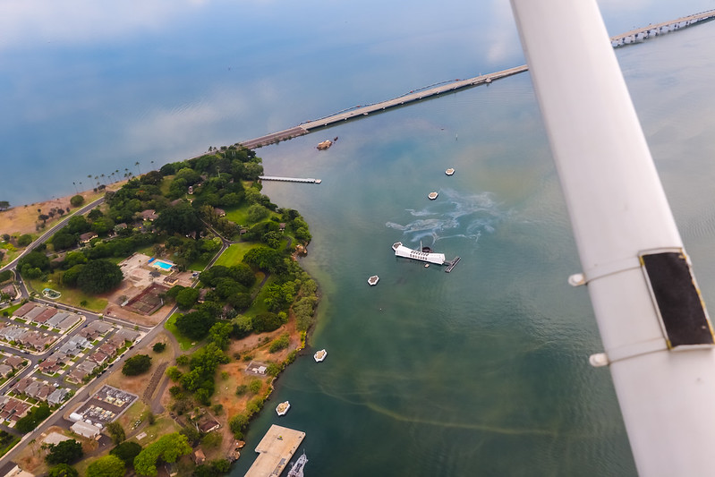
It has been 70 years since the end of World War II, and oil continues to leak from the USS Arizona battleship at the bottom of the sea,
constantly reminding people not to forget the value of peace.
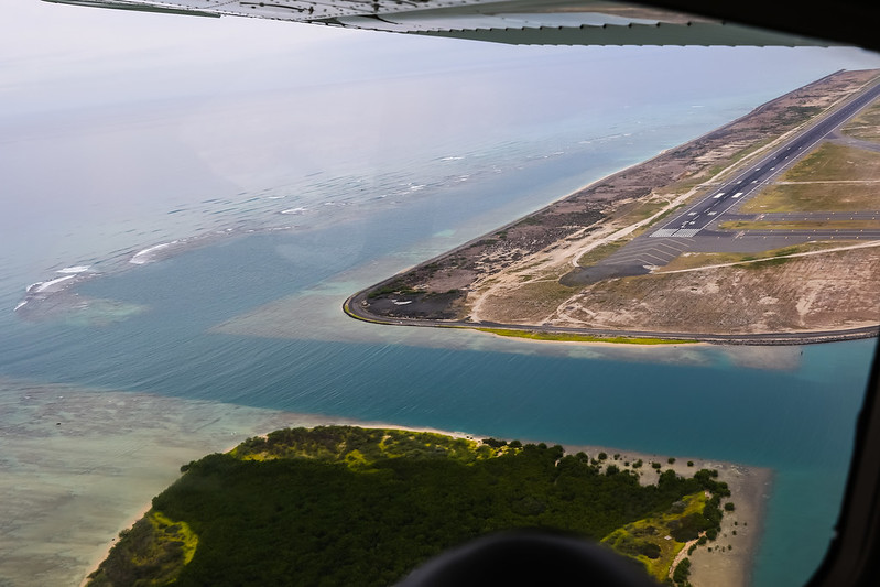
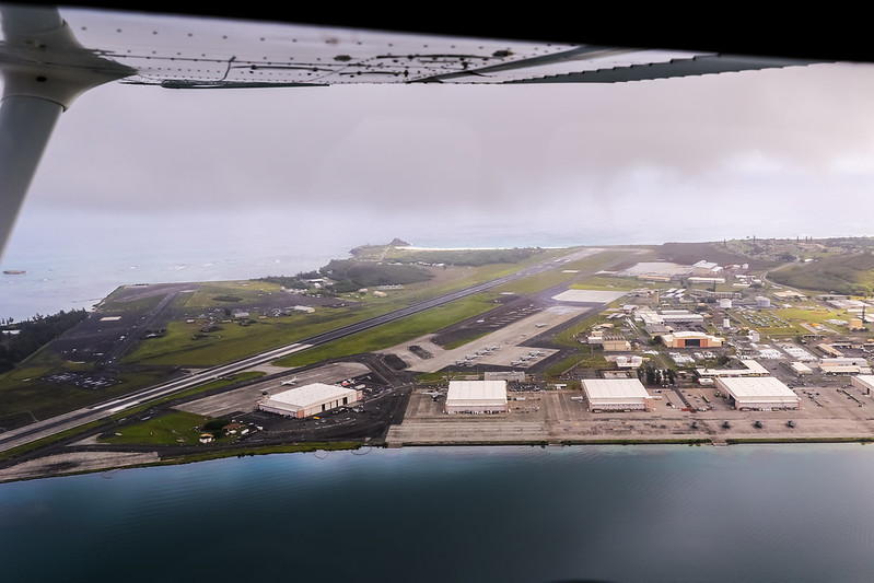
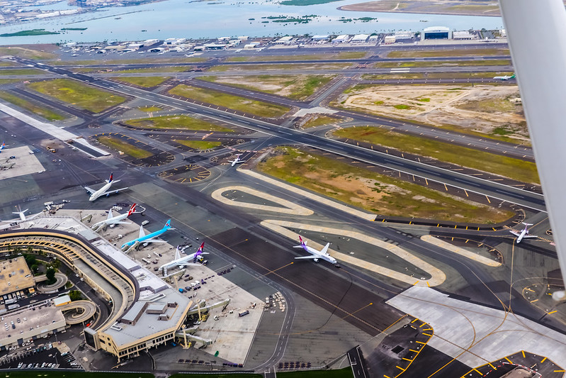
Next, we flew over the Hawaii International Airport.
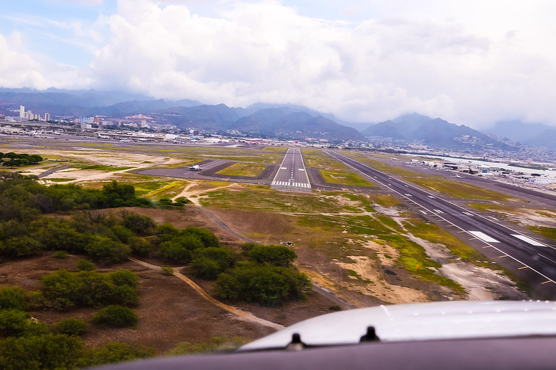
We Descended and turned west, preparing to enter the downwind leg for Runway 04L.
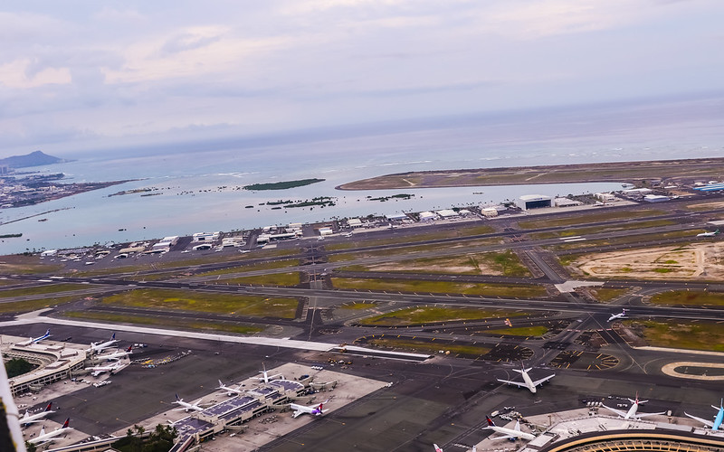
The airport terminal below, with the General Aviation (GA) area in the distance.
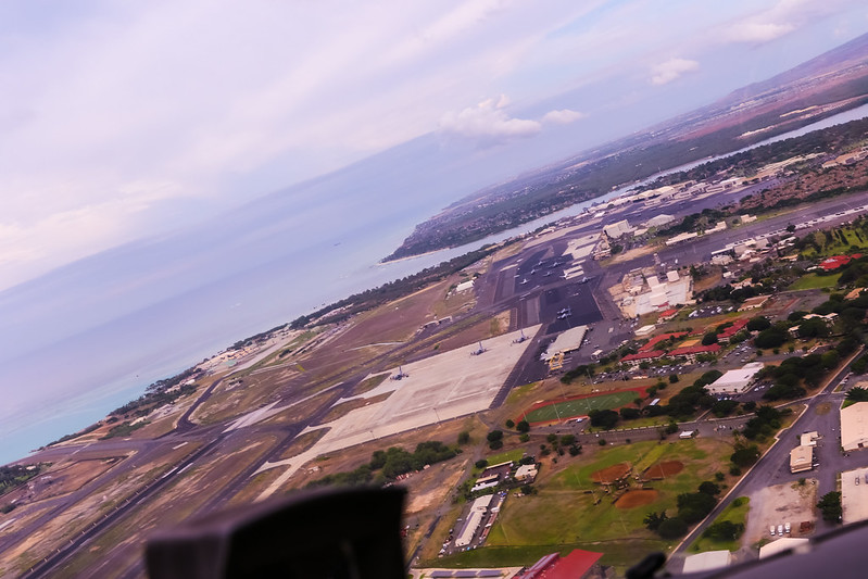
Hickam Base. Long time no see.
Runway 04L on Final.
The pilot flying with me that day was the young female aviator, Ms. Natsuki. Thank you very much!
The End