Weather Map Symbols
I recently read the Chinese version of the FAA Pilot’s Aviation Meteorology. I noticed that there isn’t much explanation about the weather charts themselves, so looking at the various symbols on the charts felt a bit like “viewing flowers in the fog” (puzzling).
After looking it up, I found the Japan Meteorological Agency’s Surface Weather Chart Symbol Explanation to be quite good. It’s hard to memorize all the symbols for cloud amount, cloud type, cloud height, smoke, rain, snow, hail, thunderstorms, etc., at once, so now I can check them whenever I need to.
Additionally, these resources are also very detailed: Explanation of Actual Weather Charts (Asia) Explanation of Quick/Fast Weather Charts Explanation of Forecast Weather Charts About Upper-Level Weather Charts
After reading these, there’s no need to spend money buying books.
Also, all weather information can be viewed from here. The Surface Weather Chart from the China Central Meteorological Observatory is also good. It’s a pity there is no explanation, and it seems they use fewer symbols, which actually makes it easier to understand.
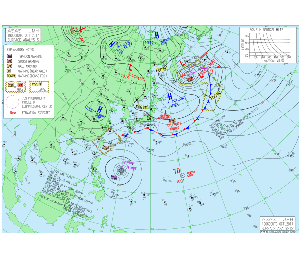
Finally, here are a few weather chart diagrams from the web. They are all hyperlinks. Now looking at the chart below, there should be no problem, right?